 www.geodatenkatalog.de (S3L)
Keyword
Forest Structure
1 record(s)
Provided by
Type of resources
Available actions
Topics
Keywords
Contact for the resource
Update frequencies
From
1
-
1
/
1
-
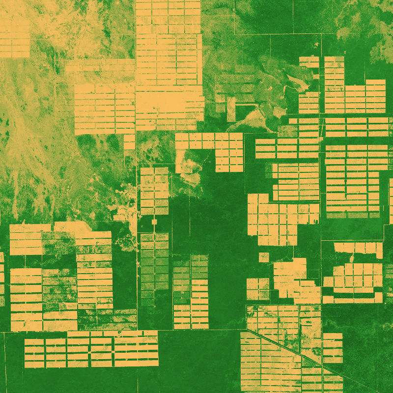
The dataset is based on an analysis combining Sentinel-1 (SAR), -2 (Multispectral) and GEDI (Global Ecosystem Dynamics Investigation, LiDAR) data to model vegetation structure information. The derived products show high-spatial resolution maps (10 m) of total canopy cover (cover density in %), Foliage height diversity (Fhd) index in meter, Plant area index (Pai) in meter and canopy height (rh95) in meter.